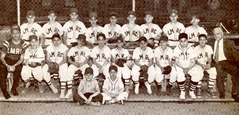
 From The Historical Atlas of New York City by Eric Homberger.
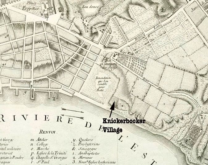
Knickerbocker would be just beyond the lower right of this map. Crown Street would later be Liberty. This brooklyn genealogy site is a great reference for old street names
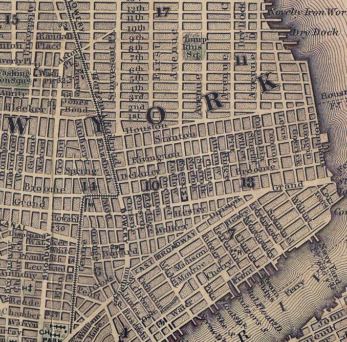
 From The Historical Atlas of New York City by Eric Homberger.
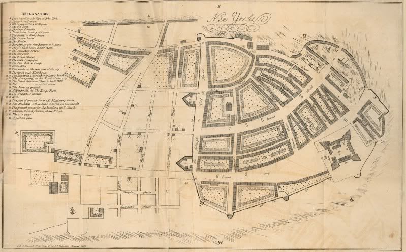
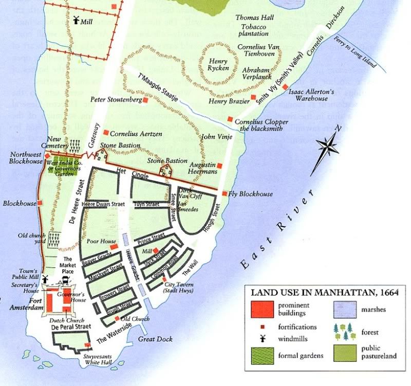 From The Historical Atlas of New York City by Eric Homberger.
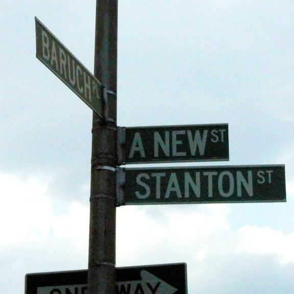 Another pic I took on Monday. again from forgotten-ny:
Late in its career, Goerck Street was renamed Baruch Place, in honor of Simon Baruch, the innovative physician who emigrated from Poland as a youth and settled in NYC in 1881. He was the father of financier Bernard Baruch. A small piece of Baruch Place is still in place, forming an arc with Mangin Street just south of Houston Street and the FDR Drive.
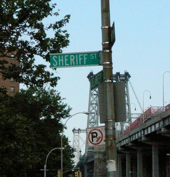 I spotted this sign while I was on the LES on Monday 6/30. From forgotten-ny:
Originally from Grand Street at East Broadway north to East Houston Street.Ethel Rosenberg's (Greenglass) family lived at 64 Sheriff Street
Sheriff Street appears on maps as early as 1797. It most likely takes its name from Colonel Marinus Willett, who was Sheriff of New York from 1784-88 and later Mayor (1807) A short stretch of Sheriff is still there under the Williamsburg Bridge. The Amalgamated Dwellings (1930) (south of Delancey) and the Masaryk Towers (north of Delancey)surround that stretch.