
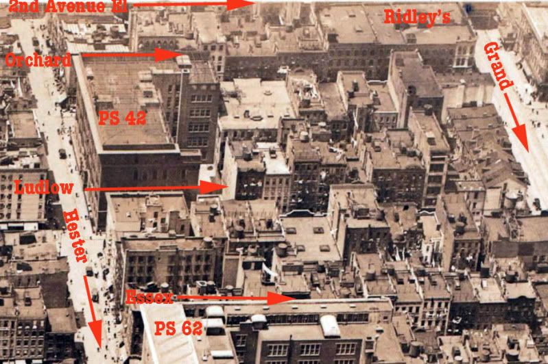
I finally finished the painstaking work of piecing together an enlarged view of an amazing aerial shot of the Seward Park area. It measures about 47 by 38 inches. I would guess it was taken in the early 1930's,
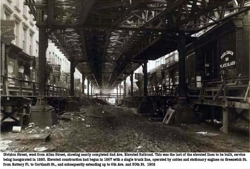
but it's mislabeled 1947. I'll post it in sections with some labeling. The above shows the approximate square block area incorporating Orchard, Hester, Essex and Grand Streets. The 2nd Avenue El is visible at the top. It was demolished in 1942. Prior to that, in 1930, a portion of the eastern side of Allen Street was demolished as well in order to widen the block. Allen Street becomes First Avenue above Houston Street. PS 62 is visible in the photo at the bottom. It would soon be torn down because of the construction of the 6th Avenue Independent line. The last section of that line, which was completed in 1936, required the excavation of portions of Essex Street.
You can view PS 62 in 1930 in this prior post









 Posts
Posts

