
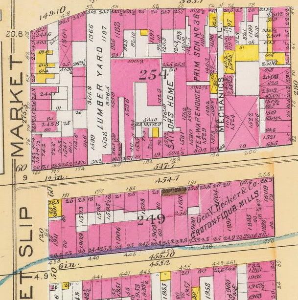
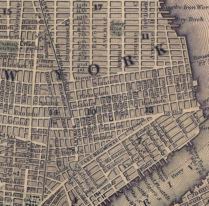
This Bromley Map section from 1891 shows the square block containing Market, Monroe, Pike and Cherry. What's visible is PS 36, Hecker's Groton Flour Mills, a lumber yard (on the site that would be PS 177), a tea warehouse and a sailor's home. The area was very industrial. The next section over East would show a coal yard, a marble works, a soap factory, a rope factory and a utensil's factory. Many horse stables would be visible as well. On this map Market Street would be the dividing line between the 7th Ward (to the East) and the 4th Wards.


No comments:
Post a Comment